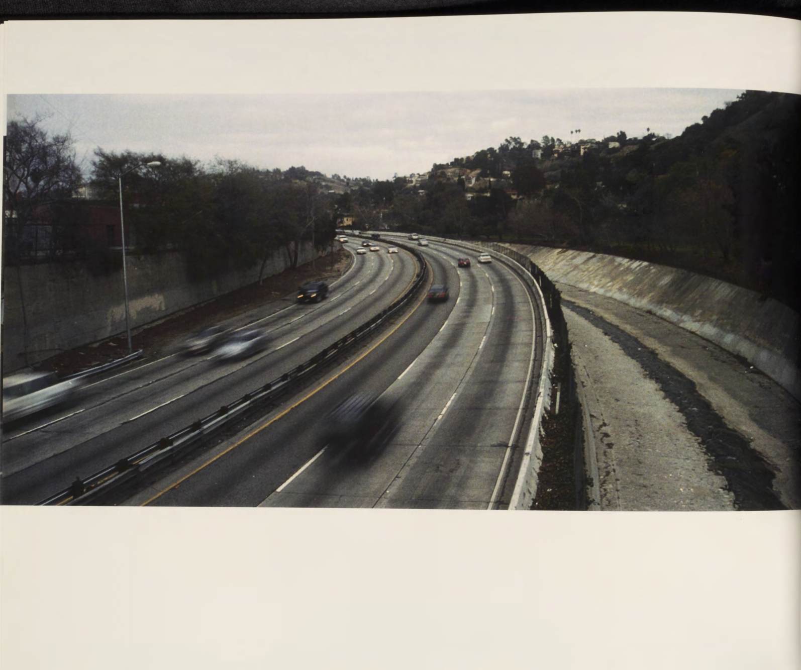
Hardscape vs. Landscape: Natural Water in Los Angeles

“We have water. We just covered it up.” - Judith Lewis
I had been led to believe that Los Angeles was a desert. After reading Judith Lewis’s article, The Lost Streams of Los Angeles, and conducting my own research on the history of the region and its climate, I learned that the city was once covered with streams and wetlands. In fact, for the first 150 years of Los Angeles, the city consistently faced issues of heavy rainfall and flooding which caused widespread damage.
In the first half of the 20th century, to deal with flooding and to make room for the rapidly expanding population, many water springs and streams were paved over, including the Los Angeles River. Simultaneously, the construction of the Colorado River Aqueduct and Los Angeles Aqueduct enabled the city to begin importing water from the Colorado River and the Eastern Sierra mountain range in the northern part of the state, respectively. As of 2013, Los Angeles receives nearly 90% of its water from outside the city; while the LA river and a network of flood control channels, directs the vast majority of rainfall in the L.A. basin out to the Pacific Ocean.
In 2007, I set out to document and photograph current and former natural sources of water in Los Angeles by utilizing archival maps from the Loyola Marymount University library. I wanted to explore how the landscape had changed since surveyors began mapping the land in the 19th century and how ongoing development continues to worsen the city’s water crisis.
Published as a hardbound book and added to Loyola Marymount University’s archives
Received Honorable Mention in 2007 Undergradute Library Reseach Awards https://digitalcommons.lmu.edu/ulra/awards/2007/4


